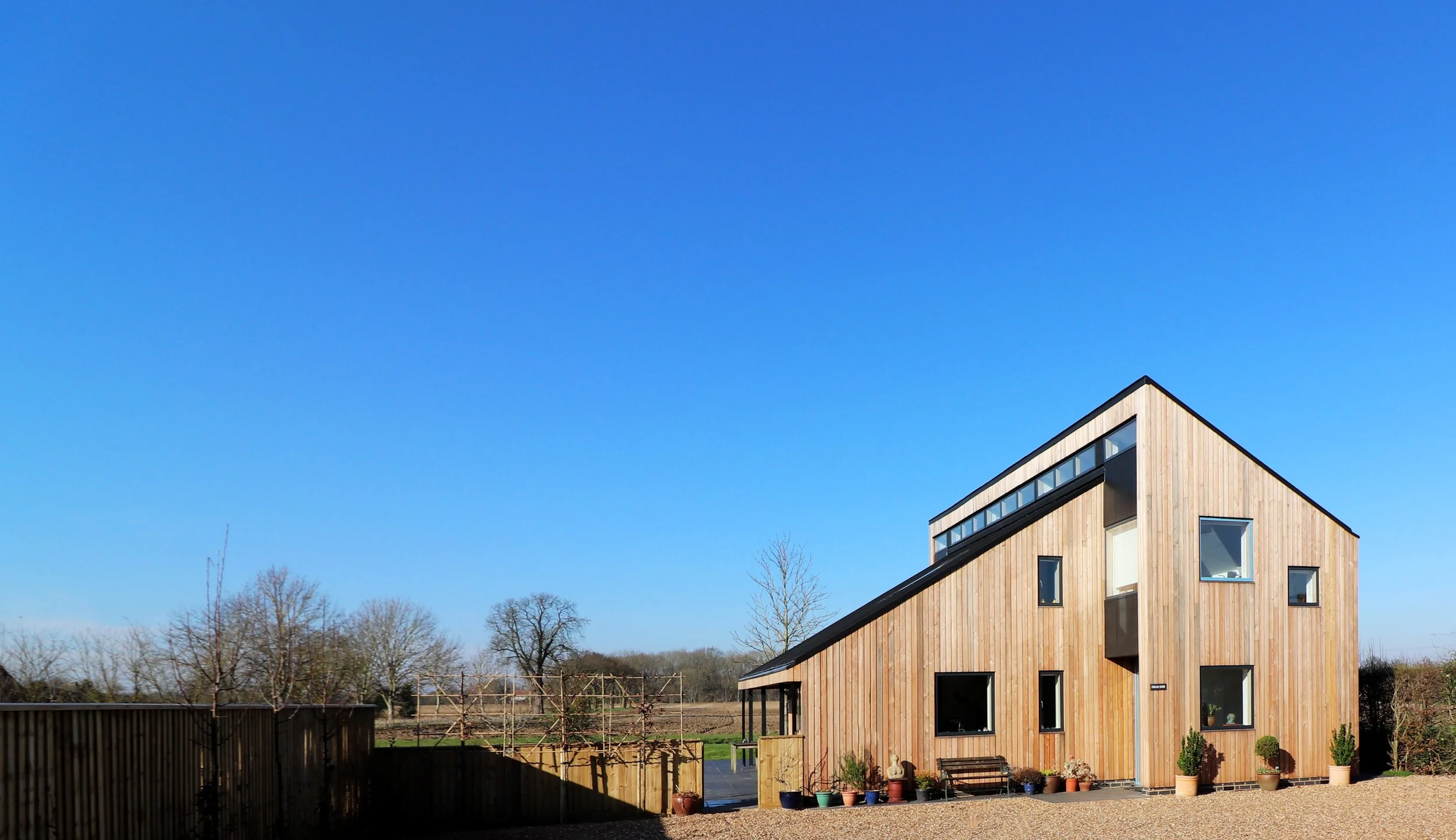
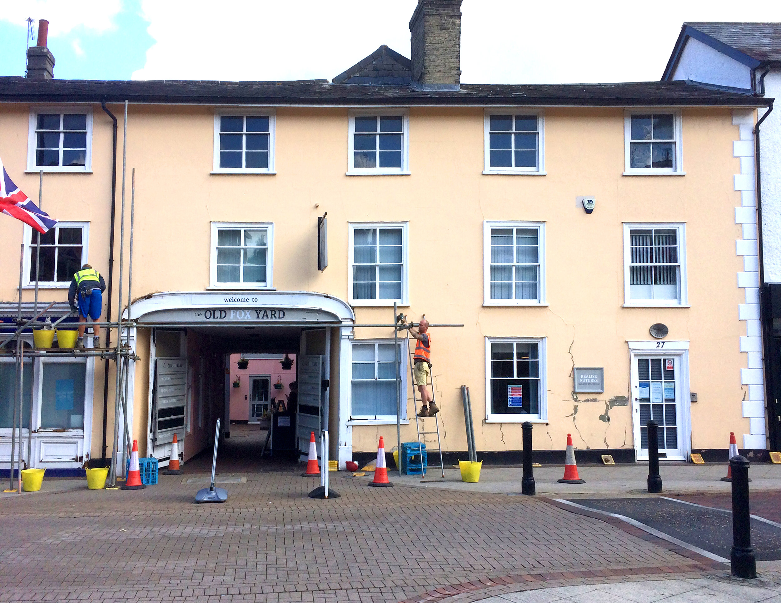
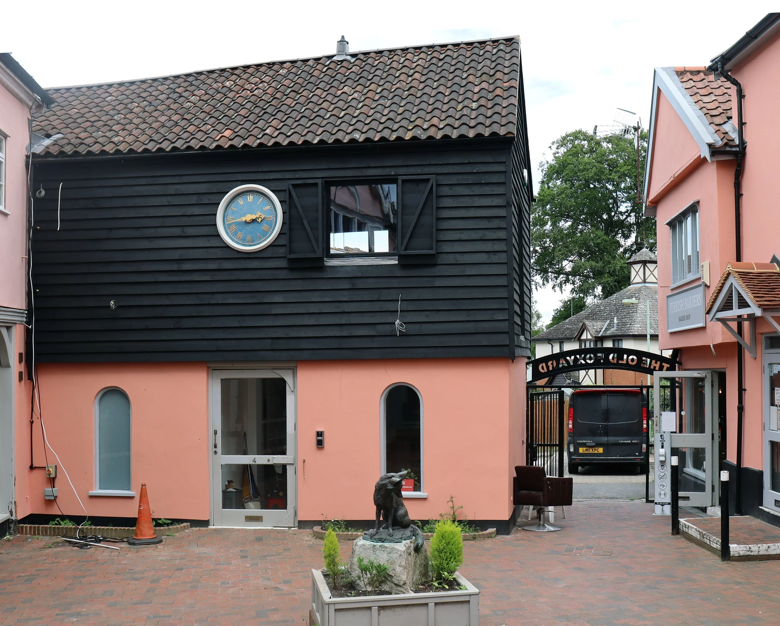
Modece’s restoration for the Old Fox Yard in Stowmarket has been shortlisted for the ASBP Awards 2022 in the project category.

blog
Architects explain how natural materials can provide environmentally friendly ways to replace cement.
Read the full article here or continue below…
Builders have found coins over 120 years old under floorboards at the old community hospital in Southwold. A mysterious brick structure has also been uncovered about four meters underground. It is suspected that this was a WW1 air raid shelter built for the protection of hospital staff and patients.

Final Site Plan
The final site plan proposes to drastically open-up the frontage of the site, removing the existing overgrown hedge, revealing both the vicarage and the new development to the village. The proposal will be both physically (by footpath) and visually connected to the village.

Proposed view of Vicarage and new development from Darsham Road
The proposed dwellings nearest Darsham Road are set-back from the highway; existing trees to the side of the frontage are retained, and; the area between the proposed dwelling and the highway will be landscaped. This means that on first approach the proposed dwellings are not initially visible but the open landscaping produces a welcoming and subtle hint to what lies beyond. The ‘before’ and ‘after’ images from Darsham Road (below) show this subtle change to the frontage. This same effect is achieved from the Southern approach on Darsham Road.
The proposed Church View Avenue (below) runs North-South down the centre of the Glebe land. It is lined on either side by dwellings that present their main entrance frontages to the avenue. To the west, plots 11-20 have their gables facing the avenue; they are set back from the shared surface access with a small front garden, parking space and path to the front door all landscaped to match-in with the main scheme.

Proposed Church View Avenue
A key focus of Church View Avenue was to capture the glimpse view of the church gable end through the mature tree lined boundary. The dwellings are carefully placed so that this view (as shown in the image to the right) is not only retained but celebrated when looking south down Church View Avenue.

The impact of the proposal on the view from Wash Lane was the main consideration when developing the built form and scale of the dwellings proposed on the Glebe land.

Proposed view from Wash Lane
Here the site is visible in the context of St Peters church (far right) as well as Phoenix Cottage (centre left) and the dwellings of Clematis Close (far left). The proposed dwellings (centre right) are designed to be a subtle addition to the landscape. Their gable ends face onto the field, helping break-up the mass of the buildings along the terrace. The terrace itself is interrupted by gaps to help break-up the roof-scape rhythm. The eaves and ridge height are kept very low so the proposed dwellings are not only vastly subservient to St Peters church but their roof-line is also kept below the trees in the background so the existing and natural skyline is retained. Material choice is also an important factor. The roof finish is proposed to be slate. Unlike the roofing of Clematis close which stands out because of its light nature, the very dark finish of slate will effectively disappear into the dark backdrop of trees behind. The gable ends of the proposed dwellings are largely glazed. To reduce the risk of this glazing creating glare, it is set back into the building form and as such is shaded by the roof and side walls. In addition to this the upper portion of the gable is semi concealed by timber louvres. The natural timber of the louvres themselves and the shadows they create ensure the gable ends, much like the roof finish, blend into their surroundings.
Modece is a proud supporter and active member of the Suffolk Joint Construction Committee (SJCC) and we are excited to see the new SJCC website go live. Find it at www.SJCC.co.uk
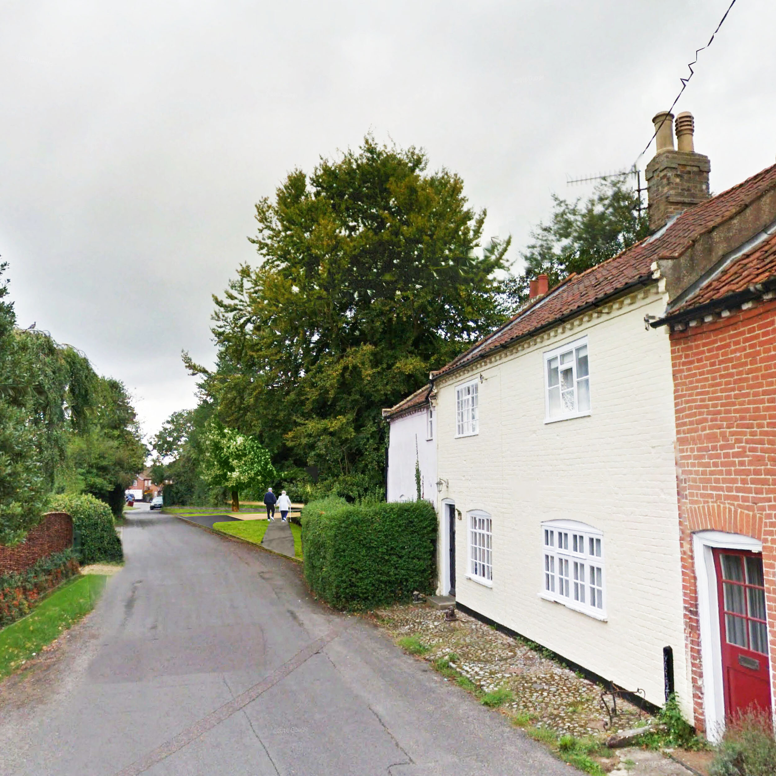
Westleton is a vibrant village with a population of approximately 349 people (census 2011). It is located north of Leiston and north-east of Saxmundham near the North Sea coast.
The village is on the edge of the Suffolk Sandlings, an area of lowland heathland. It is largely surrounded by agricultural farmland. To the East and South lie the Suffolk Coast and Heaths, and nature reserves which are joined to the village by the Westleton Heath Nature Reserve. RSPB Minsmere reserve is also 1 mile immediately east of the village.
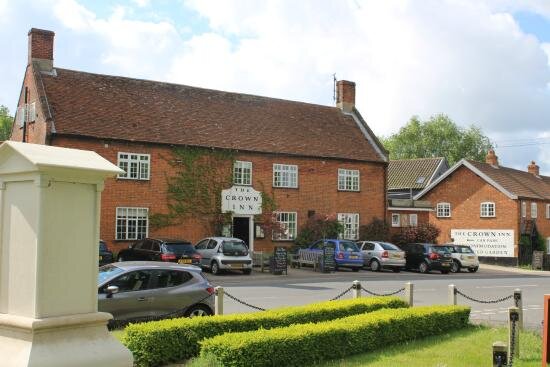
Westleton high street is predominantly populated with a mix of Victorian and Edwardian dwellings and public buildings, with a few more recent additions dotted within the centre and on the fringes. It has a local village hall which is frequently utilised for many uses including film clubs, jazz nights, carpet bowls & council meetings, to name but a few. The village is also served by two pubs - The Westleton Crown which is across the road from Glebe Meadow, and The White Horse Inn. As well as public houses, the village also benefits from a church, a post office, two book shops, a tea room and a car garage.
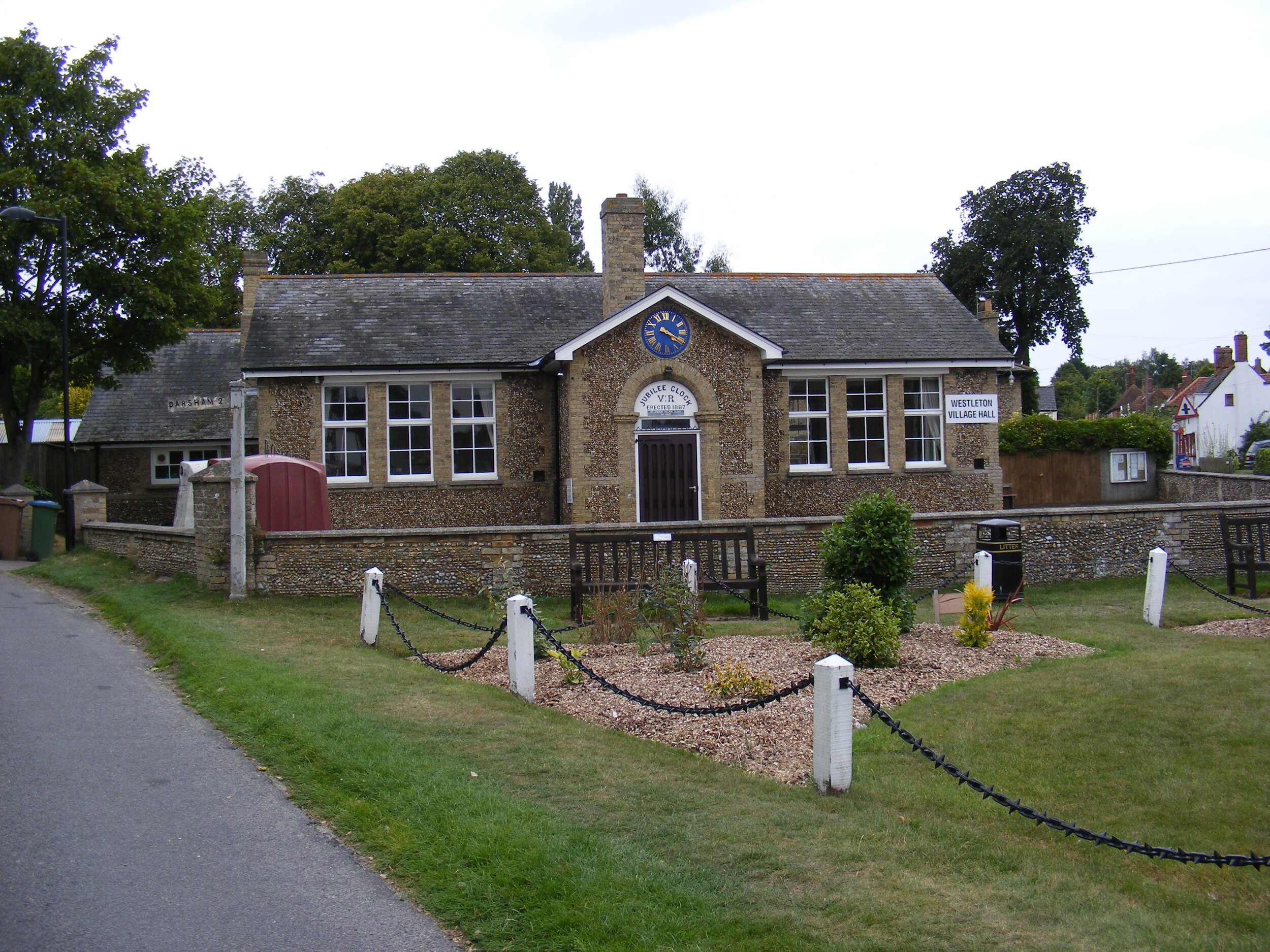
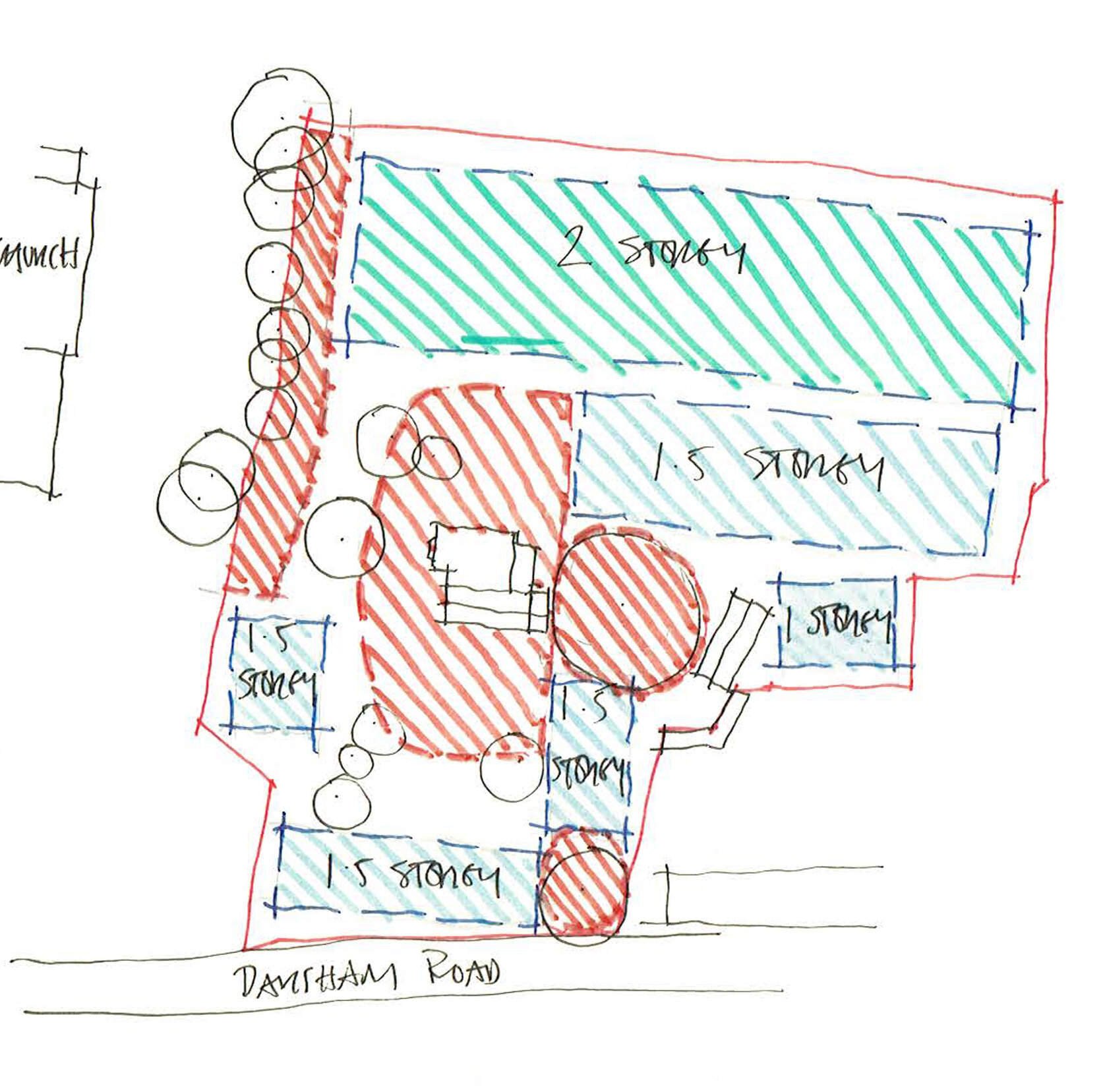
The site (highlighted in pink on the map below), once belonging to the grounds of the church, is a 2.2 (approx) acre plot on the Western fringe of the village. It is accessed via a small lane from Darsham Road next to the Village Hall which is a focal point North from the centre of the village. To the West of the site lies wheat fields, and to the North a relatively recent housing development. Directly to the South of the site is St. Peters Church. The site itself incorporates the former vicarage to the church and its own residential curtilage including an area of land known as The Glebe to its rear (west).

Site Location Plan (not to scale)
The main building on the site is the Vicarage, sited centrally and is currently rented out as a private residence. There are also a further two buildings on the site, a single storey solid soft-red brickwork studio, and a small timber framed and timber clad garage.
The site is divided into a series of external areas. To the front of the site is the former front lawn of the vicarage. It is now under grazing rotation by the resident’s horse. The area to the South of the vicarage would have also been a lawn. The area borders onto the churchyard to the South (with a mature tree line) and the Glebe land to the west (with an overgrown hedge line). This area is currently left as scrub with a lone Oak at its centre.
To the West of the site is the Glebe land, which is now open paddock, however has historically always been used in conjunction with the occupation of the vicarage. To the North of the vicarage is a large London Plane tree. The tree is stands prominently next to the vicarage and shades its surrounding area. The space around is currently used as an access and parking area and external storage space for the vicarage.

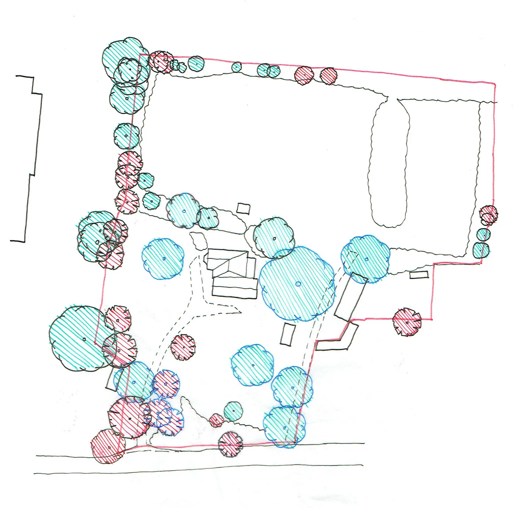
Glebe Meadow
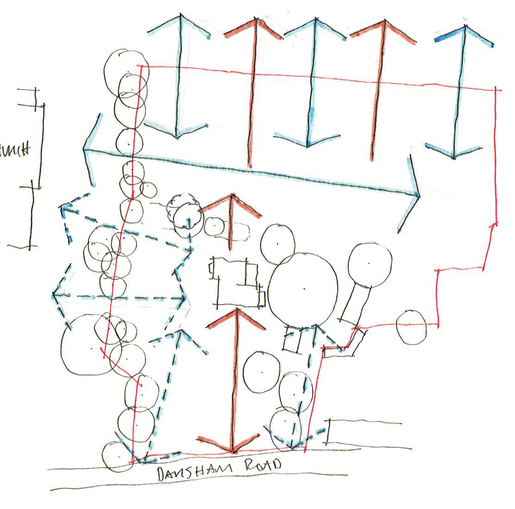
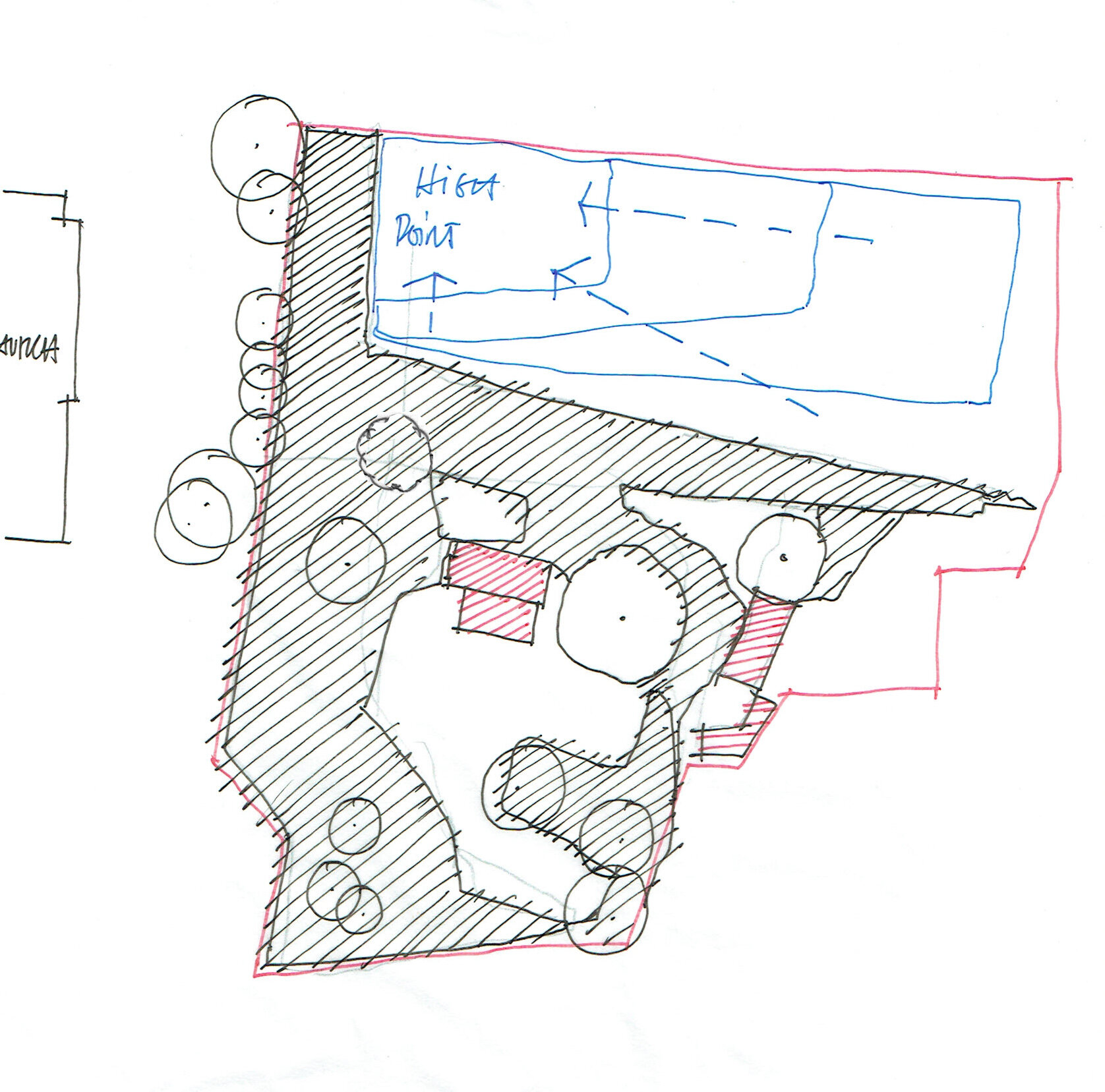
An initial set of sketches has been derived from site visits which explore key potential drivers for design.
One of these design drivers is the placement of existing significant trees, and the framed view lines that these create across the site. A tree survey has been carried out and analysis of this can be seen below.
Exposure of the site was also explored, and the study conveys the exposure experienced through relative isolation/shading and elevation. The last diagram is an initial study of potential development areas.